
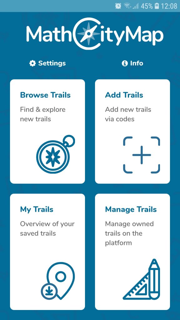
The MathCityMap team has recently developed several new task formats! By now, MathCityMap offers nine task formats plus the possibility to create subtasks. All task formats are shortly presented in the following.
Furthermore, we make available an Example Trail including all task formats. This trail can be viewed in the web browser here respectively by the code 065522 in the MathCityMap app.
The interval is the ‘classic’ MathCityMap task format. It is to be used whenever measurements are necessary, e.g., to determine a length, an area or a volume.
Interval
The format Exact Value can be used for counting tasks or for combinatorial problems: How many windows do you spot on the house wall? How many possibilities do I have to lock my bike at this bicycle stand?
Exact Value
To raise more than one questions on a measuring activity, the task format Vector (Interval) can be used. Example: Determine the length, width and height of the pictured cuboid. Also, the task format can be applied for questions concerning spatial geometry.
Vector (Interval)
NEW TASK FORMAT!
Analogously, we offer the Vector (Exact Value) format which can be used to set several counting tasks or combinatorial problems at once.
Vector (Exact Value)
NEW TASK FORMAT!
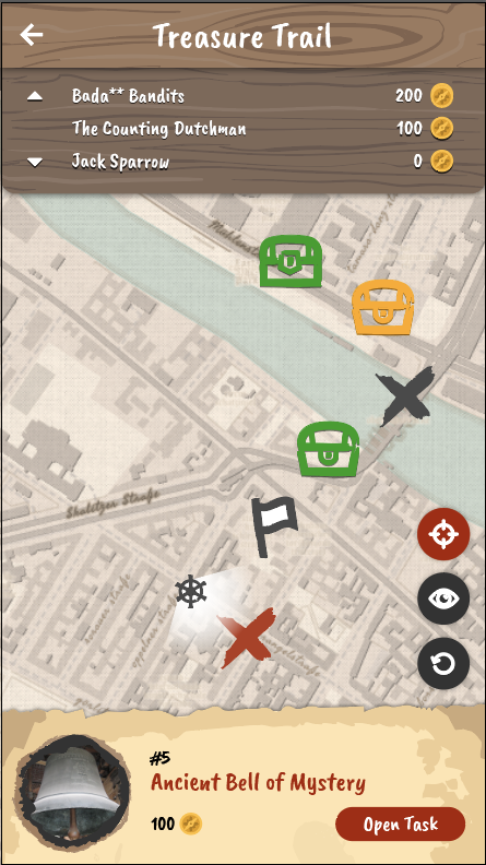
If several numbers are the expected solution in a task, but the order in which the numbers are to be entered is not important, the Set task format can be used. In the app, only the numbers are entered into input fields. An example of a Set task can be found in the math trail above mentioned.
Set
NEW TASK FORMAT!
The Information Station is a task format without an input field in the app. It is implemented to offer important facts, e.g., to historical buildings, persons or realities during the math trail.
Information Station
NEW TASK FORMAT!
Another new task format is Fill In The Blanks: Within this format, gap texts can be easily worked on outside the classroom, e.g., to analyse objects outdoors in technical language, to deal with data from information boards or to raise questions on data of historical realities.
Note: Please use the “strict” mode if a number should be filled into the gap.
Fill In The Blanks
NEW TASK FORMAT!
Also, available data can be queried within the Multiple Choice format like in a quiz. Thereby, at least two answer options must be given, of which at least one is correct.
Multiple Choice
The GPS Task format allows users to create tasks in which the students have to find a pre-defined position (e.g., the middle of the given points) or position themselves in a pre-defined figure (e.g., building a equilateral triangle)
Note: This type of task works best in more rural areas since the GPS signal is often too weak in cities.
GPS Task
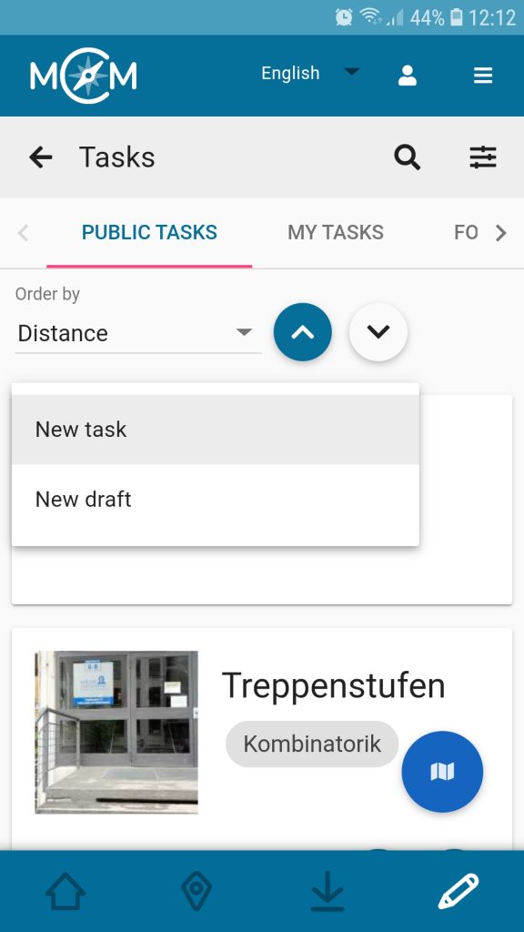
Lastly, we offer the possibility to pre-structure more complex tasks by dividing them up into optionally or mandatory Subtasks. One example for using Subtasks is given in the upper mentioned trail.
Subtask
NEW TASK FORMAT!


