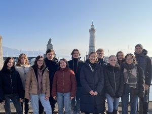
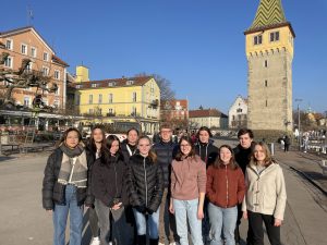
The Trail of the Month for April was created at a picturesque location on Lake Constance, on the island of the city of Lindau in Bavaria. Together with his P-Seminar, a special type of course in the Bavarian gymnasiale Oberstufe, teacher Jan Neuendorf created the “Lindau Island Mathtrail” (Lindauer Insel Mathtrail), which is available in the MCM app under the code 376526 and in the MathCityMap web portal here.
Along the harbor and through lindau’s old town, the trail winds its way across the entire island and integrates various sights of the city, making it very interesting not only mathematically, but also architecturally and historically. The trail contains a total of ten tasks that focus in particular on the content of the eighth and ninth grades.
An interview about the background of the trail is given by Jan Neuendorf in the following interview:
How did you come across the MathCityMap project?
I first heard about the project from colleagues who had spoken about it in various training courses. Afterwards, I found out more about the MathCityMap project on the Internet. This gave me the idea to offer a P-seminar in mathematics, which had the goal to develop a Math-Trail on the island of Lindau and to make it accessible to interested people via the MathCityMap-App. The P-Seminar is a special feature of the gymnasiale Oberstufe in Bavaria. It supports students in their study and career orientation and focuses on the planning and implementation of a subject-related project.
Where is your trail located? What is special about your trail?
The trail is located on the island of Lindau in Lake Constance. With its historic old town, narrow streets, medieval buildings and picturesque harbor with lighthouse, lion and mountain view, the island provides a unique backdrop for the elaborate math trail. Therefore, it was also an exciting challenge to discover and develop suitable mathematical tasks on objects on the island. Thus, the trail combines sightseeing with math activities, which is an exciting combination.
How do you use MCM and why?
So far, MCM has served as a guiding idea for the P-Seminar in mathematics. The goal of the participating students was to plan and implement a math trail on the island of Lindau. In the future, the trail will be used in grades 9 and 10 as a subject outside the classroom or as part of our project week. It is certainly also desirable that other schools in the Lindau area will use the trail for classroom excursions and class action days.
Describe your favorite task on the trail. How can it be solved?
My favorite task of the trail is the task to the Mangturm (Mangtower) at the Lindau harbor. On the one hand, the task is to be solved directly at the harbor in the heart of Lindau, which gives the task an exposed place within the trail. On the other hand, it is a suitable task from the field of geometry, in which mathematics is applied in practice and in which geometry as the science of measurement can be understood in its most original form.
The task is solved with the ray theorem. The fascinating thing is that this theorem can be used to determine lengths that are difficult or impossible to measure.
If you form the 2m long meter stick into an isosceles, right-angled triangle and place it on the harbor railing in such a way that you can aim at the top of the tower via the tip of the leg of the meter stick that is far from your eye, you are not far from the solution. After you have measured the horizontal distance of your location to the Mangturm with the help of the railing elements, you add the height of the railing to this quantity and thus obtain the height of the tower.