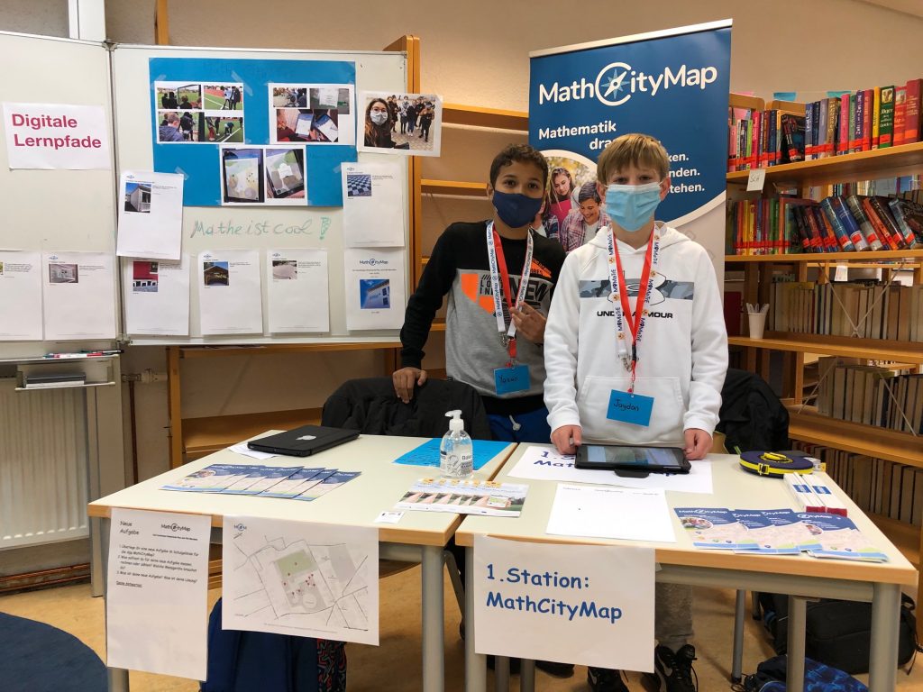
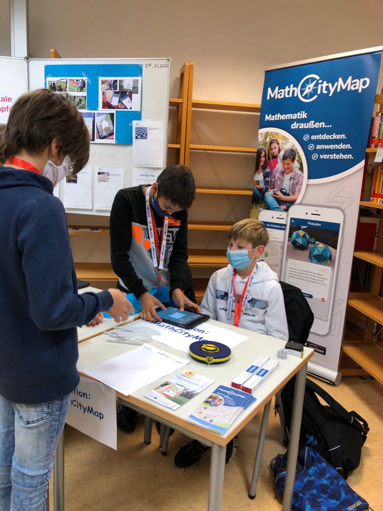
The math teacher Fabienne Nykiel created the trail “A math trail for Markdorf!” together with her students. In the following, the teacher explains how the students of class 7c of the Markdorf educational center worked out the tasks.
How did finding & creating the tasks work with your class? Describe the process from the first idea to the finished trail.
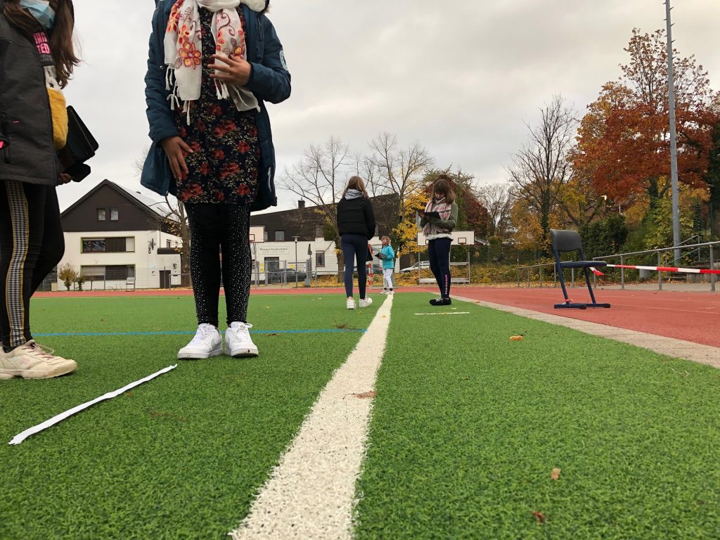
A group of students designed a modeling task on triangular construction together with me in the centre of Markdorf. The teacher informed herself in advance which location might be suitable for a potential modeling task on a specific topic and led the group to this location.
At this location the modeling cycle was discussed again with the students in a didactically reduced form and it was then explained that this cycle is now run backwards (I have called this process of modeling “extended modeling”): In a single work phase the students explored the local situation and each of them thought about the potential possibilities of this location alone in order to design a possible modeling task for the specific topic. After this phase, each student presented his/her ideas. In the plenary session, the students used this as a basis for discussing and debating which idea was the most suitable, creative, individual and closest to reality, whereby several ideas could also be combined into one (‘Think-Pair-Share-Method’).
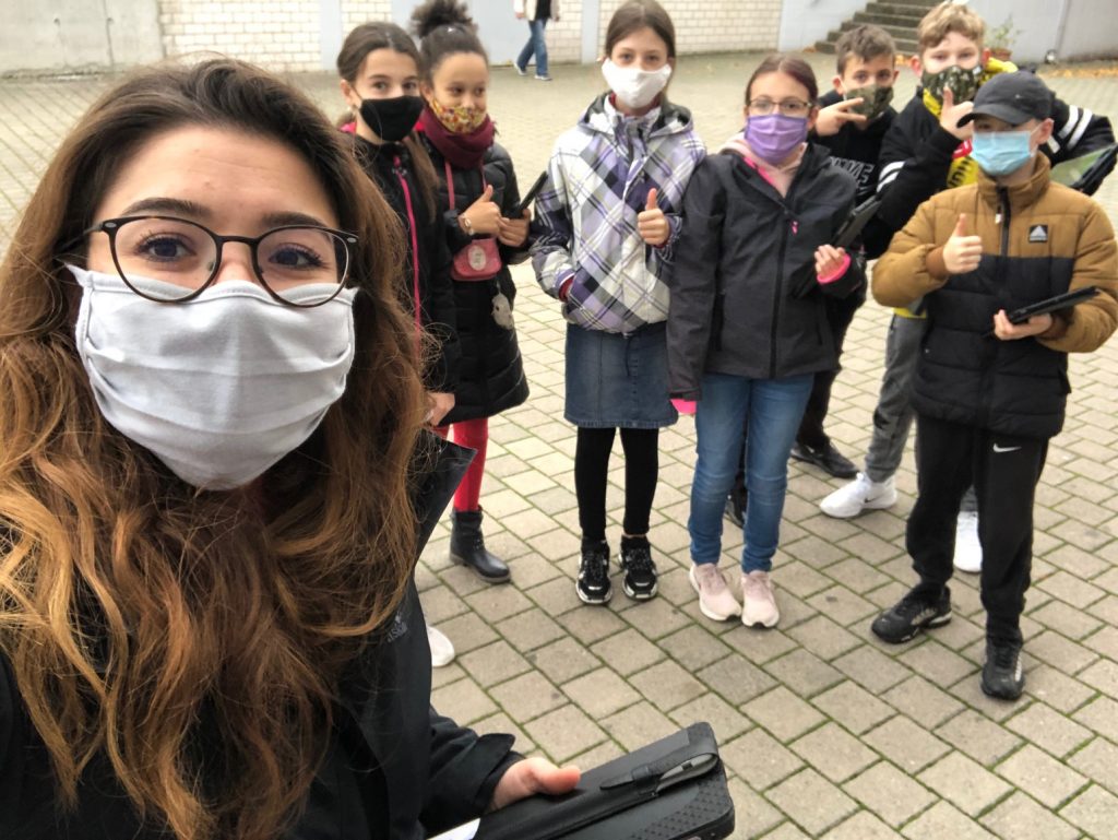
After the students had already had their goal and result in mind, they considered how they could achieve this goal in the world of mathematics, i.e. by mathematical work (estimating, measuring, calculating, constructing, …) and carried out their considerations simultaneously. In doing so, they filtered out the explicit hints that could later be given in the MathCityMap app. Each small group was fully motivated and enthusiastic. They all emphasized that it was a lot of fun to finally do something ‘useful’ with mathematics.
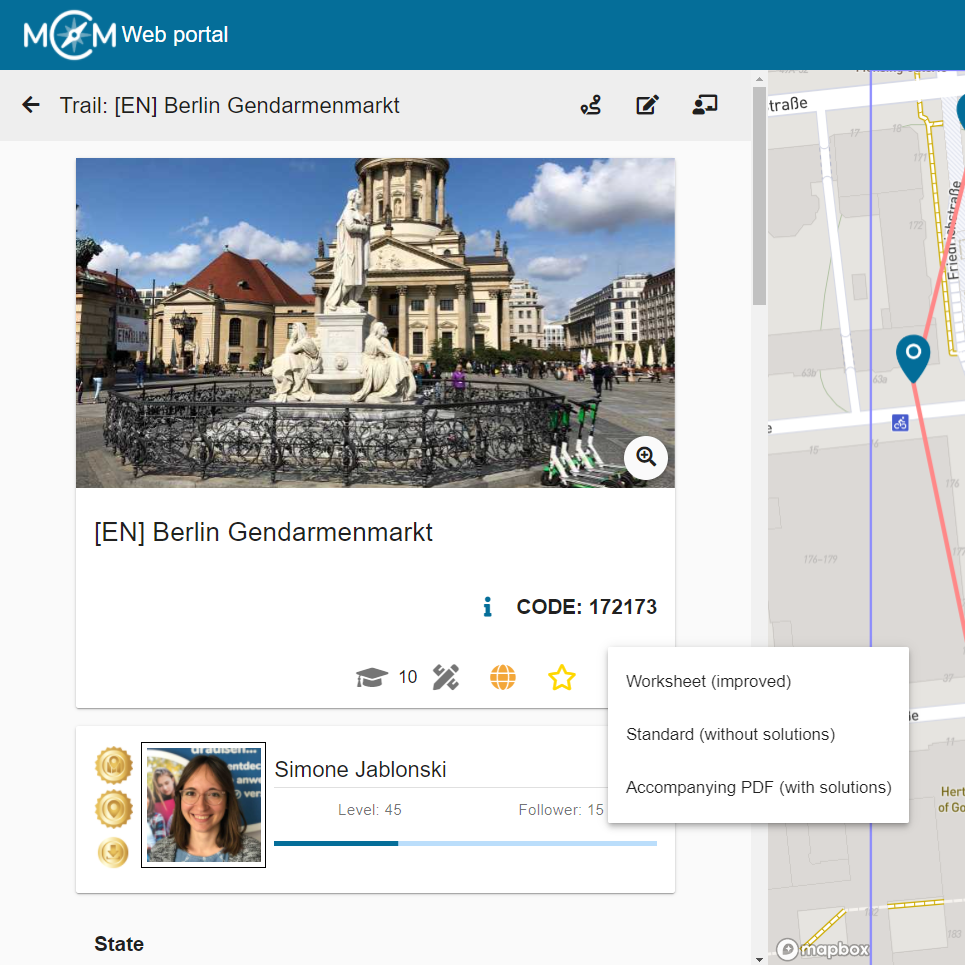
As a last step, the students formulated the task, the three hints and the final solution (with its range of solutions) in detail. I transferred this information to the web portal and created the individual tasks. At the end, all tasks were combined into a trail. As a project conclusion, the trail was run and worked through together on a school day. As far as the Corona regulation (again) allows it, the parallel classes also want to go through the trail.
What do you see as the advantages if the learners create the tasks themselves? What do you hope to achieve?
A big advantage that I have seen in this project was the improvement of the modeling competence of SuS, which has especially developed through “Advanced Modeling”. In addition, SuS also deals with the trained content competencies from a different perspective. Social skills are also trained, such as the ability to work in a team.
Therefore, I hope that I will not only be able to better train the modeling skills, but also a sustainability of the teaching content. I hope that SuS will not forget these mathematical contents and also the modeling skills.
A further advantage is the strengthening of the personality of SuS. They were all visibly proud of the fact that they designed the math trail themselves. The joy was even greater when they learned that the trail would be published and was nominated for the Math Trail of the Month.
Is there a task that you particularly like? If so, please describe it.
I think the task “A larger church clock for Markdorf” is very successful, because many skills are trained. On the one hand, it must be estimated that the gable is an equilateral triangle, whereupon the SuS must measure the width of the tower, which gives them the length of each side of the triangle. Only with this information can the SuS design the triangle on a sheet with a suitable scale and determine the center of the inscribed circle.
What I particularly like about this task is that it seems ‘unsolvable’ at first glance, because the gable is so far away and cannot be measured easily.