Our new Task of the Week was created on the Africian continent. However, the task is located on Spainish territory: In the Spanish exclave Ceuta, which is surrounded by Morocco, Margarita Gentil created the task “Conjunto escultórico” (engl.: “Sculptural ensemble”). In the following, Margarita gives us an interview about the task.
How do you get in contact with MathCityMap?
Long ago, my colleague Sergio González told me about this interesting project that he found on Twitter. We work as math teachers at IES Luis de Camoens in Ceuta and we have had the chance to create our first MathCityMap route thanks to a virtual workshop taught by Claudia Lázaro [MathCityMap Educator for Spain form the Spanish Teacher Association FESPM] at the online course “XI Miguel de Guzmán School of Mathematical Education”.
Please describe your task. Where is it placed? What is the mathematical question? How could you solve it?
The task Conjunto escultórico is formulated as follows: At Plaza de la Constitución, crossing the bridge, we can find a sculptural ensemble. They are stone copies of the originals from the 19th century sculpted in Carrara marble that can be admired inside the Palacio Autonómico (Town Hall). When they were placing these copies there was a great stir because nobody remembered which was the former order. How many possibilities exist to place these statues?
The participants will see that the ensemble is made up of 6 statues: Peace, Africa, Industry, Arts, Commerce and Labour. They must recognize the type of problem (count the number of different possibilities) and make use of the combinatorial knowledge acquired during the lessons at school (Permutations. 6! = 6 · 5 · 4 · 3 · 2 · 1 = 720). The different hints given to the participant help during the process that leads to the resolution.
Which didactic aims do you want to stimulate through this task?
The objective of this task is to identify basic combinatorial problems in a real context and find the appropriate strategy to solve them.
Do you have any other commentary on MathCityMap?
MathCityMap project is great because it fits the type of activities we like to do. Sergio and I have set up a group, CeutaMaths, and now we are working on new routes. But, most of all, we are looking forward to play them with our students.
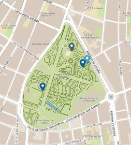
Public trails in Ceuta: