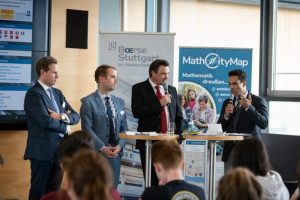
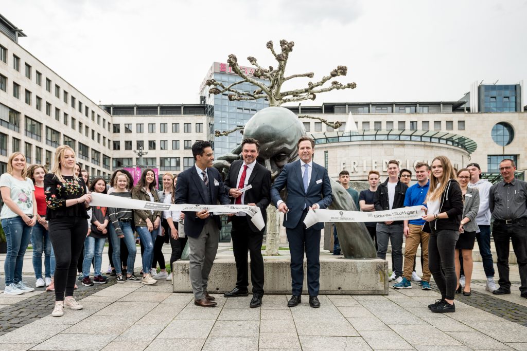
Already in the last week, we reported on the opening of the MATHE.ENTDECKER trails around Stuttgart’s stock exchange. We are happy that the event was also reported in the Stuttgarter Zeitung at the 20.04.2018 and would like to share this article with you:
High school students on the math path
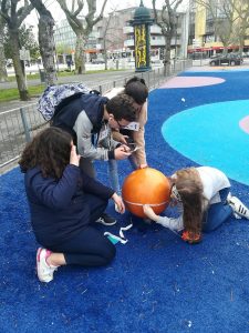
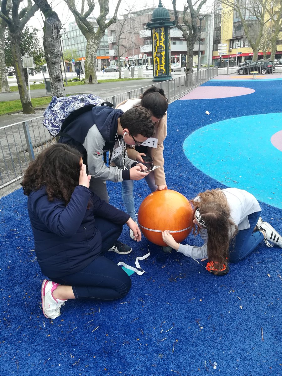
School students use a smartphone and corresponding app to solve practical tasks. Uli Meyer
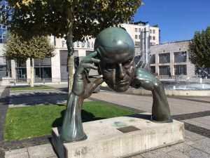
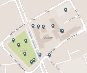
Many people are wrong being confronted with the question of how big a person would be with a head the size of the sculpture of the thinker. Five meters? Or six? 24 students of Johann Philipp Palm School cannot rely on their feeling or a vague estimate. They have to calculate an exact result. The 11th graders of the Schorndorfer Wirtschaftsgymnasium start with measuring tape and calculator and begin their mathematical calculations. Incidentally, the human would be just over ten meters tall, which the students calculate with help of the app. Managing Director of Stuttgart’s stock exchange, Oliver Hans, and Matthias Ludwig and Simone Jablonski from the Goethe University Frankfurt watch the happenings, because the aspiring high school students are the first to complete the so-called math discovery trail. Around the stock exchange, Ludwig and Jablonski and their staff of the Institute for Didactics of Mathematics and Computer Science have created four such trails. They vary in difficulty and challenge different ages, like the steel wheel and 14 other tricky tasks. “The Math Trail idea is already old and was developed in 1984 in Australia. Our new approach is that we combine it with an app for smartphones, “says Ludwig about the new offer for schools, but also for the very private, individual use.
Together with Stiftung Rechnen, where Stuttgart’s stock exchange is a founding member, Ludwig’s institute has developed the MathCityMap platform. This website is translated in eleven languages, because it has become an international project with partners in several countries. “Worldwide, we have 600 trails with around 3000 individual tasks in the system,” says Ludwig. One encounters it “through creativity and through the world with eyes open”. A circumstance that is also important to Oliver Hans: “Mathematics surrounds us permanently in our daily lives.” Stiftung Rechen would like to interest people in mathematics, to reduce fear of contact and to convey joy in dealing with numbers. “Arithmetic is a cultural technique as well as reading”, Hans and Ludwig agree. Not all students were enthusiastic when they completed Stuttgart’s first math discovery trail. But for many, this practical application of mathematical tasks seems more interesting than a math lesson. Their teacher, Thomas Blum, watches his students with a smile on their faces as they study the steel wheel: “They must work out principles as to how they can come to a solution.” The learning effect is as great as the fun.
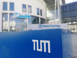
MathCityMap can be downloaded for free in App Stores.